Articles, features and stories with an emphasis on geology.
19
08, 2019
Ancient Jurassic Volcano Landscape Found Under Central Australia
Volatile Jurassic Landscape Named after Fiery Australian Cricketer
An ancient Jurassic landscape of 100 volcanoes has been discovered underneath Australia’s largest onshore oil and gas region. Researchers from the University of Aberdeen (Scotland) and the University of Adelaide (South Australia), have identified a network of volcanoes that formed between 180 and 160 million years ago, buried deep within the Cooper-Eromanga Basins of central Australia. A considerable portion of the scientific paper, published in the journal “Gondwana Research”, was written whilst the University of Aberdeen researchers were in Adelaide, watching an England versus Cricket Australia XI match (November 2017).
Jurassic Landscape Named after Shane Warne
The scientists have called the volcanic region the Warnie Volcanic Province, in recognition of the formidable spin bowling talent of former Australian cricketer Shane Warne, who had a seismic impact on the sport.
The Scientists were Able to Map Characteristics of the Region Highlighting the Violent Past of the Landscape
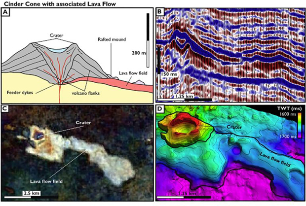
Picture credit: University of Aberdeen/University of Adelaide
Sixty Years of Petroleum Exploration
The Cooper-Eromanga Basins in the north-eastern corner of South Australia and south-western corner of Queensland have been the site of about sixty years of petroleum exploration and production. However, evidence for a volcano dominated ancient Jurassic underground landscape had gone largely unrecorded.
The volcanoes developed in the Toarcian through to the Oxfordian faunal stages and have been subsequently buried beneath hundreds of metres of sedimentary rock. The researchers used advanced sub-surface imaging techniques, analogous to medical CT (computerised tomography) scanning, to identify the multitude of volcanic craters and lava flows, and the deeper magma chambers that fed them. In contrast, today, this area of Australia is a very arid and barren landscape.
The Study Identified Around a Hundred Volcanoes
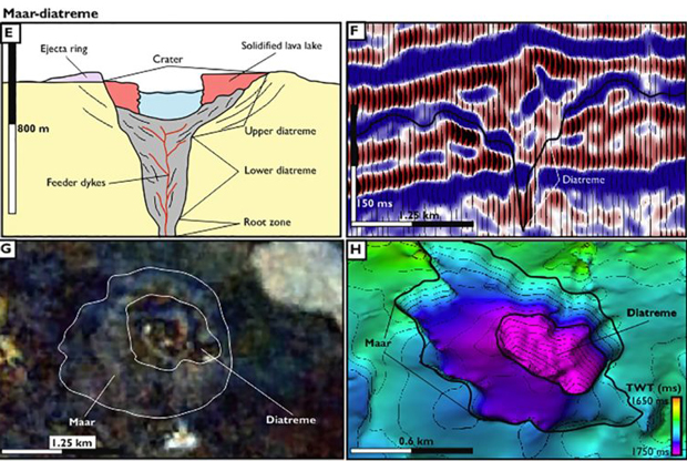
Picture credit: University of Aberdeen/University of Adelaide
This study demonstrates that during the Middle to the early Late Jurassic this area would have been a landscape of craters and fissures, expelling hot ash and lava into the air, surrounded by networks of river channels forming large lakes and coal-swamps. This area was inhabited by dinosaurs and pterosaurs.
Undiscovered Volcanic Worlds
Co-author of the scientific paper, Associate Professor Simon Holford (University of Adelaide), stated that the discovery raised the prospect that more undiscovered volcanic worlds resided beneath the poorly explored surface of Australia.
Associate Professor Holford commented:
“While the majority of Earth’s volcanic activity occurs at the boundaries of tectonic plates, or under the Earth’s oceans, this ancient Jurassic world developed deep within the interior of the Australian continent.”
Jurassic Landscape Records Extensive Volcanic Activity
One of the authors was Jonathon Hardman, at the time a PhD student at the University of Aberdeen, as part of the Natural Environment Research Council Centre for Doctoral Training in Oil and Gas. Jurassic-aged sedimentary rocks bearing oil, gas and water have been economically important for Australia, but this latest discovery suggests a lot more volcanic activity in the Jurassic period than was previously supposed. The area has been named the Warnie Volcanic Province, in honour of the explosive Australian cricketer Shane Warne.
Co-author Associate Professor Nick Schofield (University of Aberdeen), explained that the Cooper-Eromanga Basins had been substantially explored since the first gas discovery in 1963.
He added:
“This has led to a massive amount of available data from underneath the ground but, despite this, the volcanics have never been properly understood in this region until now. It changes how we understand processes that have operated in Earth’s past.”
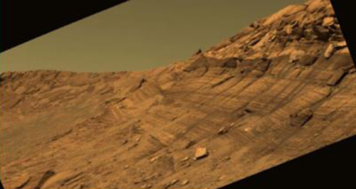
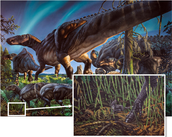
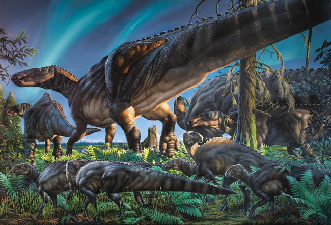
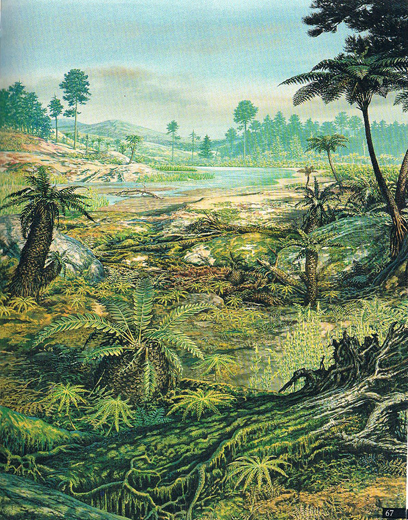
A Typical Jurassic Landscape
Everything Dinosaur acknowledges the assistance of a media release from “The Lead South Australia” in the compilation of this article.
The scientific paper: “The Warnie volcanic province: Jurassic intraplate volcanism in Central Australia” by Jonathon P.A. Hardman, Simon P. Holford, Nick Schofield, Mark Bunch and Daniel Gibbins published in the journal Gondwana Research.
The Everything Dinosaur website: Everything Dinosaur.